Map of Victoria BC
Victoria BC Canada Visitor's Guide
Victoria Canada is located at the southern tip of Vancouver Island, just below the 49th parallel.
The Juan de Fuca Strait is directly south of Victoria. The Canada-USA border runs down the middle of this strait.
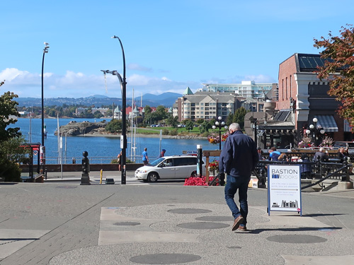
Overlooking the Inner Harbour in Victoria
The snow-capped Olympic Mountains in Washington can be seen on the far side of the strait. They are particularly beautiful during the winter months.
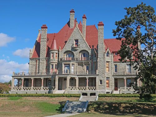
Craigdarroch Castle, Victoria BC
Haro Strait and the San Juan Islands (USA) are situated east of Victoria and the Saanich Peninsula.
View map of Victoria Canada.